
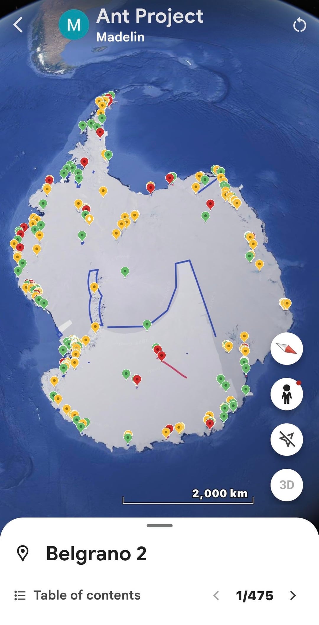
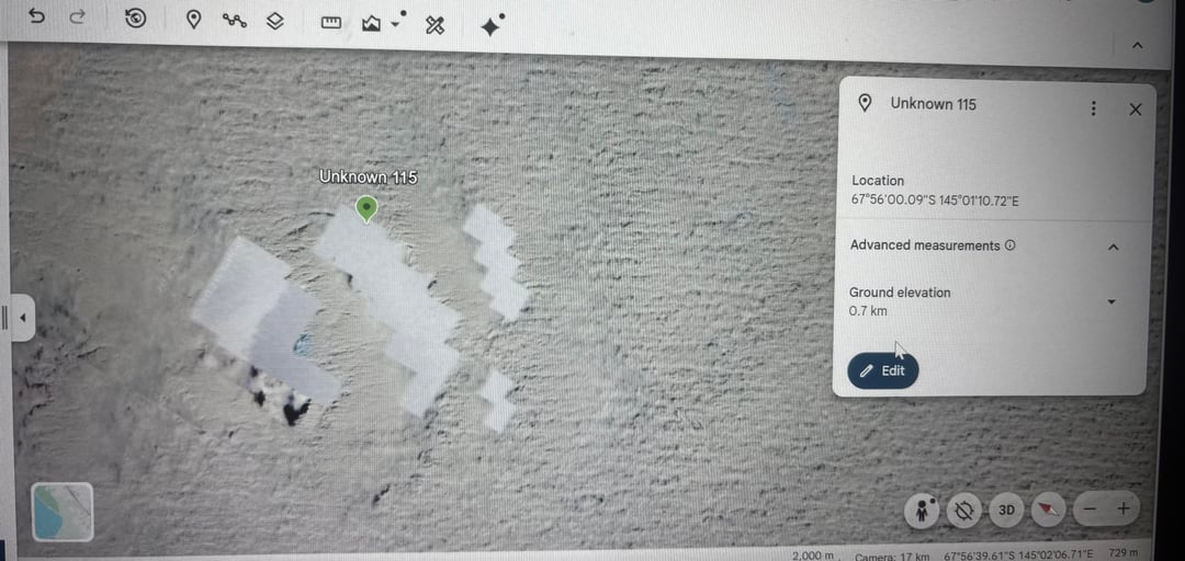
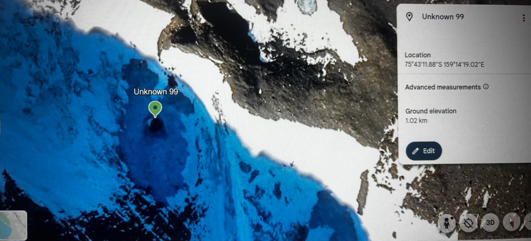
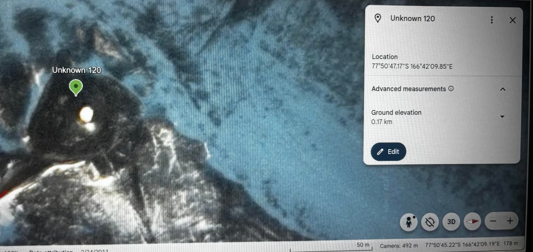
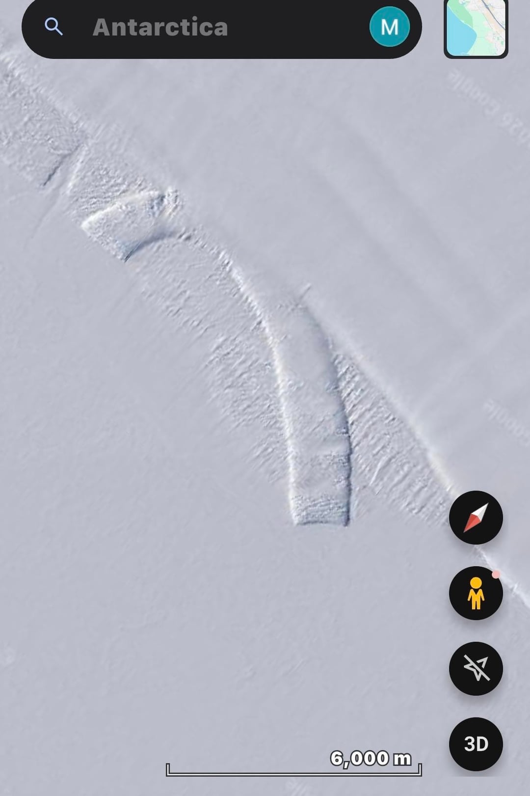
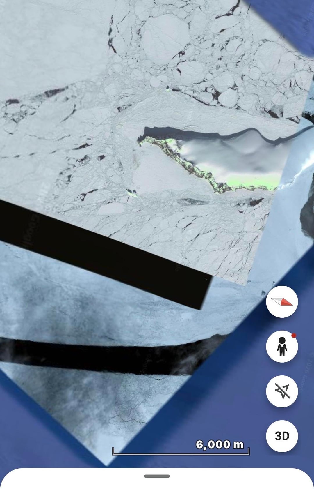
Recently, I’ve been mapping Antarctica. Below is the key for what each marker means, and there will also be a table of contents on Google Earth for this project.
Link to Map:
https://earth.google.com/earth/d/1bz0DGwrC6BhMCS1yYdN7JFnRwRq3NQZA?usp=sharing
🔴 Red — Stations and station paths/routes
🟢 Green — Unknown/questionable; needs investigation
🟡 Yellow — Interesting geography or unusual geographic features
🔵 Blue — Borders/boundaries, odd imagery glitches, or imagery that doesn’t seem to fit its surroundings
The green unknown areas are subjective. They’re simply meant to point out unusual landscape features, glitches in the satellite imagery, and, of course, areas that remain unknown! 😄
Feel free to explore! I’m always curious to hear everyone’s thoughts.
My exploration continues, as seen above. A large majority of Antarctica still remains to be explored in this project, and a large majority of the imagery appears to be only white, even upon closer examination.
Posted by BugBugWuggy
1 Comment
I have heard fitbit data leak shows people walking there on this sub sometime ago….
I am 100% sure either there is inner earth theory or some sort of labs are there !
Antartica is the key to know what happening everywhere