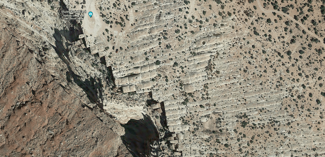
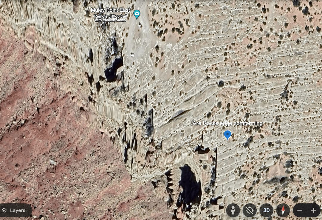
Google Earth Lies – alters satellite images of Megalithic Blocks – Search Muley Point East, Utah
Posted by AtreidesLeo

Google Earth Lies – alters satellite images of Megalithic Blocks – Search Muley Point East, Utah
Posted by AtreidesLeo
2 Comments
What is this supposed to be? It looks like glacial erosion from the glacial maximum during the last ice age.
looks like distortion from the 3d map?