
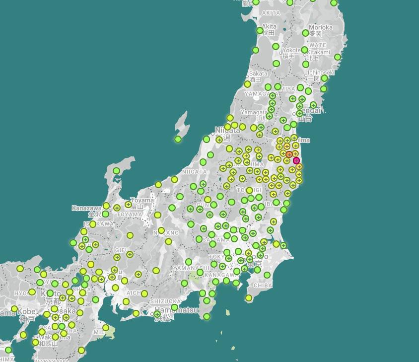
The above link is the real time map.
And heres another link that shows a historical map that you can drag the timeline to see how it spread,
https://map.safecast.org/?y=37.19&x=141&z=8&l=13&m=0
To me, it looks like the majority went out into the ocean, while leaving the coast hot even to this day. Do we have the full picture of the impact this had? Would they even tell us?
Posted by Impressive-Emu-4172