
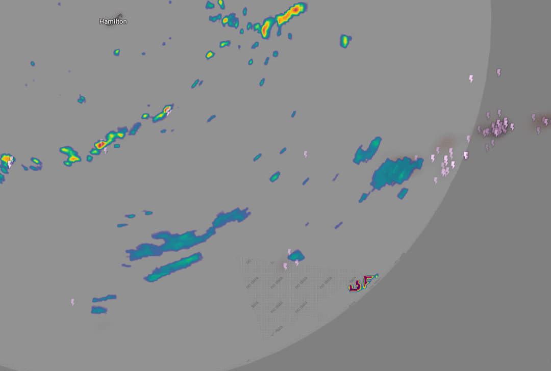
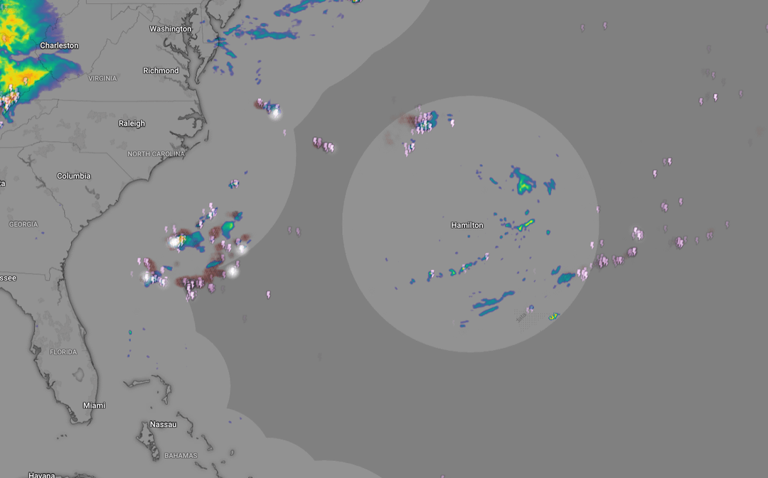
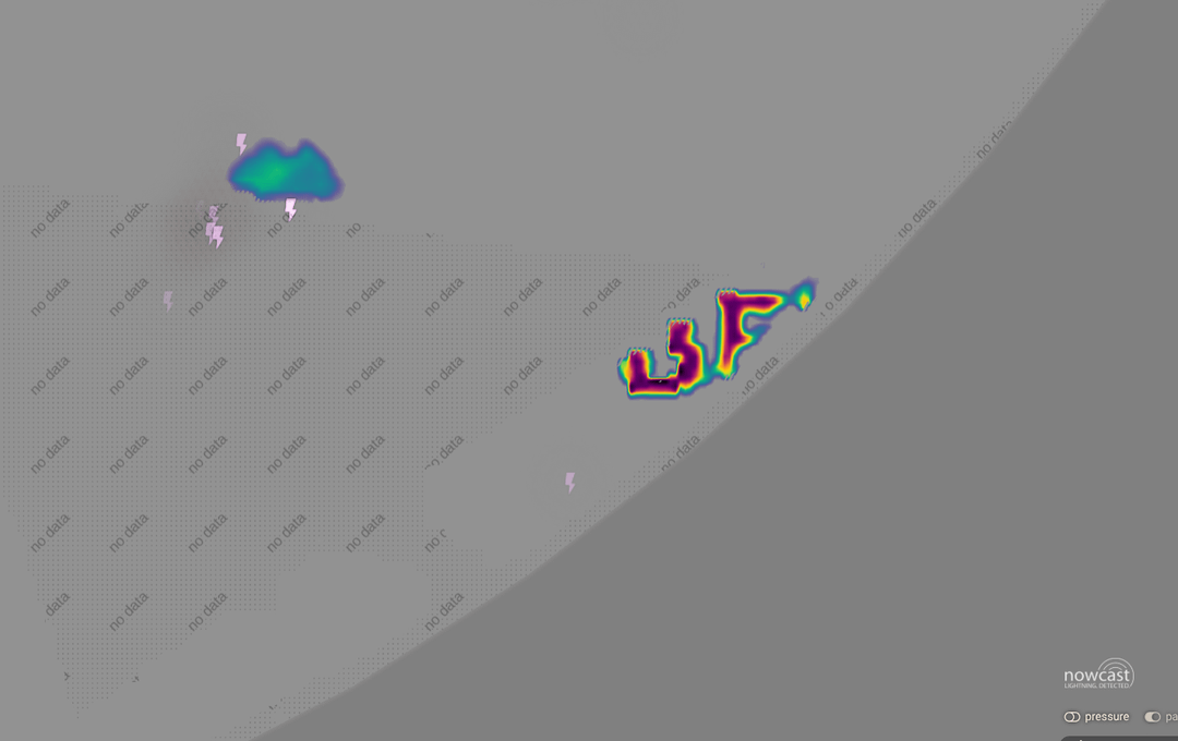
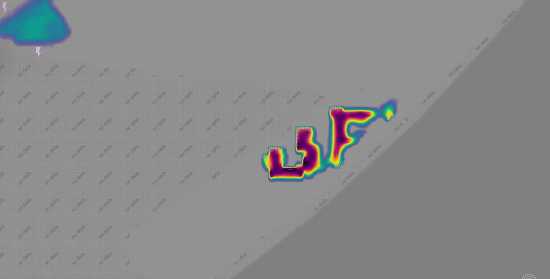
I’ve been tracking a very bizarre signal on radar layers over an exact same coordinate since yesterday. It's located near Florida at an area named Hamilton.
While the actual weather systems, clouds, and wind move normally across the map, this specific high-intensity zone (deep purple/red) remains anchored to one physical spot. It doesn't move with the wind, but its boundaries constantly pulse and morph in real-time.
I brought this up to a local meteorologist with 30 years in the field, and he admitted he hasn't seen this specific behavior on official radar feeds before.
If this isn't standard ground clutter or a typical software error, what kind of ground-based or atmospheric activity creates a fixed, shape-shifting electromagnetic/radar signature like this? Military frequency testing, active weather modification, or localized RF emission?
Would love to hear from anyone who tracks radar anomalies or works with signals intelligence.
Posted by Plus-Instruction-773
3 Comments
Have you potentially checked this against a marine vessel tracker? There are military ships currently in the Atlantic this could potentially be a signature from one.
Edit. Because I fumbled words
So basically nothing?
Looks like a backwards F U