
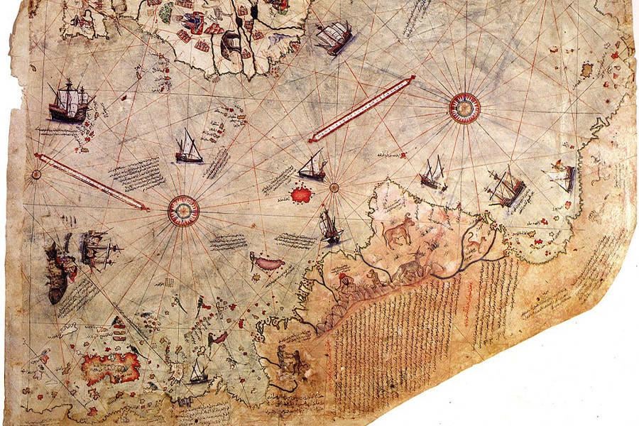
been looking into old maps lately and a few of them stand out for some odd details. the piri reis map from 1513 seems to show the northern coastline of antarctica, and what’s strange is that it looks ice-free — something we couldn’t confirm until modern technology mapped the land beneath the ice. the cartographer claimed he used older source maps, though no one knows where those came from.
then there's oronce finé’s 1531 map showing terra australis with mountains, place names, and a shape that loosely resembles antarctica too. and in 1737, buache made a map that split antarctica into two landmasses with a sea between — oddly similar to what seismic scans found centuries later.
another weird one is the zeno map, published in 1558. it shows a large island called frisland between iceland and greenland. the island doesn't exist, but it kept appearing on maps for over 200 years before being quietly dropped. no one really agrees on why it was there in the first place — error, hoax, or just repeated copying of a mistake?
i’m not claiming any of this proves anything dramatic, but i do think it’s interesting how some of these early maps either guessed incredibly well or were influenced by something we don’t fully understand. whether it’s lost knowledge, misinterpretation, or just coincidence, it makes you wonder how history really unfolded.
curious to hear other thoughts or if anyone’s come across similar examples.
Posted by PDB200
2 Comments
just sharing some interesting details from old maps that don’t quite line up with the official timeline. not pushing any particular theory, I just find it very strange – just thought it was worth a look.
Whatever is in Antarctica is being hidden from us. You cannot sail there without being turned around by battle ships and you cannot charter a private plane across it.