
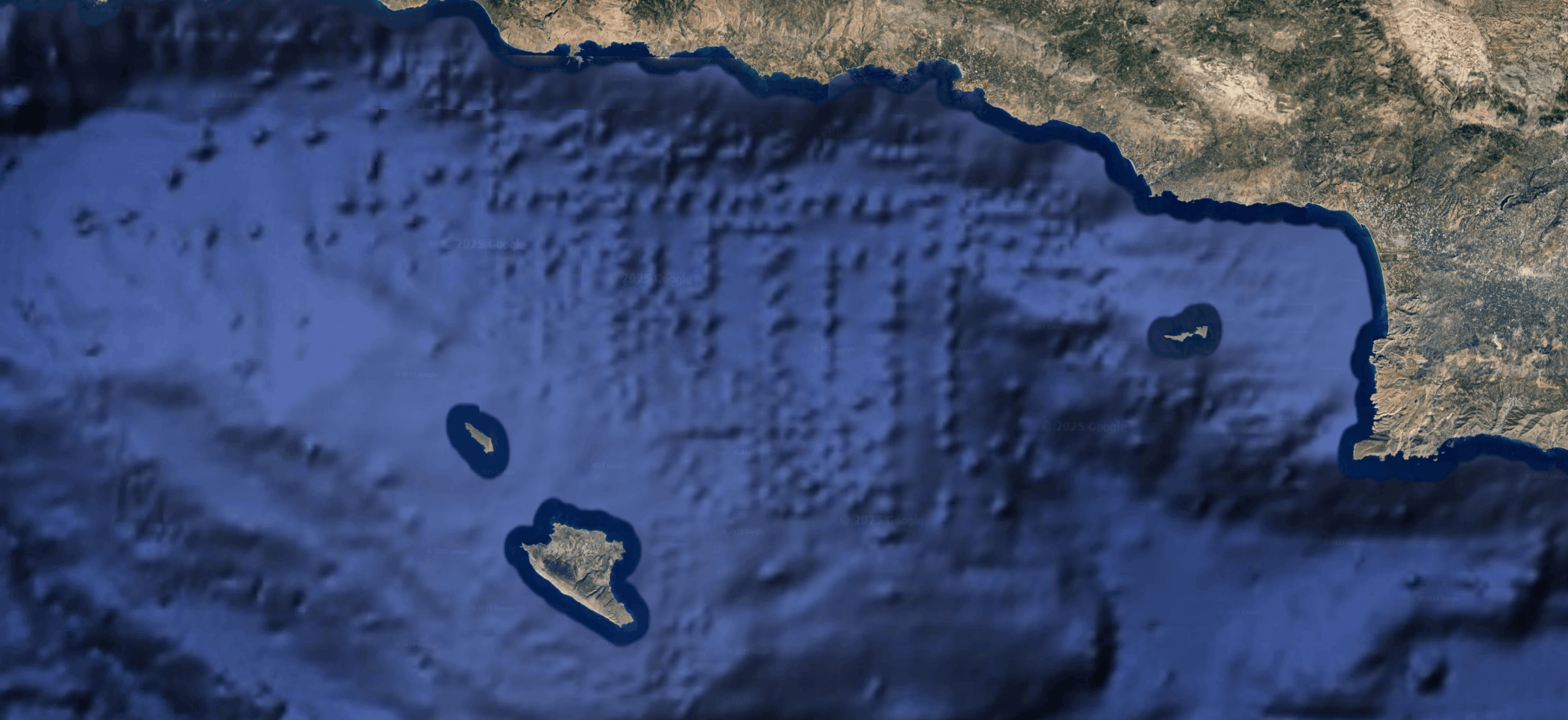
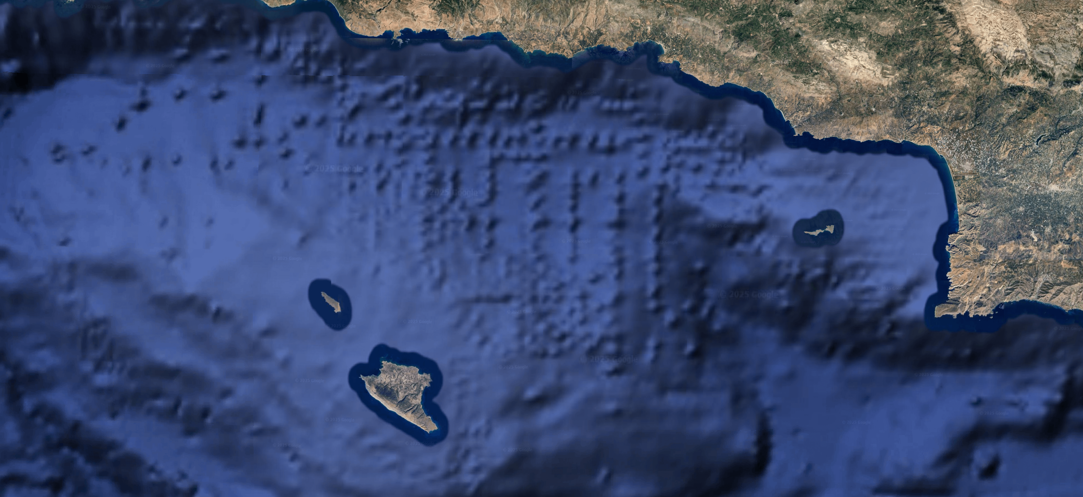
Found this on Google Earth a while ago. I was thinking about it today again and thought I'd share it somewhere folks might be interested in it. No idea what's going on in the pic but it looks like a large structure outline, or possible a temple complex/city map. The scale of it dwarfs anything currently extant that I'm aware of. Could be nothing, could be something, just wanted to see if anyone knew anything about it.
Posted by Consistent_Turnover6
4 Comments
Atlantis
Could be anti-diluvian structures. Sea level rose about 400 feet about 12,000 years ago when there was a massive ice sheet melting (look up the Younger Dryas event).
Most likely a single survey source of the ocean floor topography at each of the blips and the areas surrounding are satellite derived.
Yup that could be a sunken city. Good catch.