


I just discovered something important about the Charlie Kirk shooting that I don't think has been reported anywhere else:
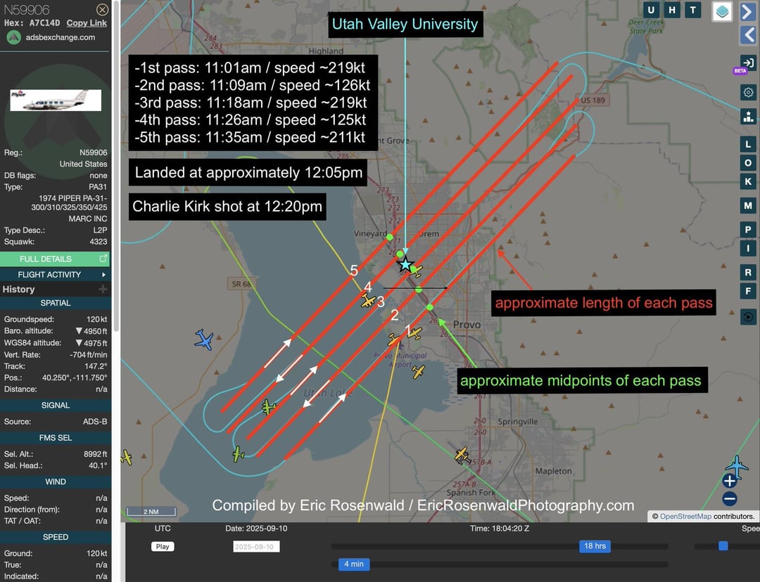
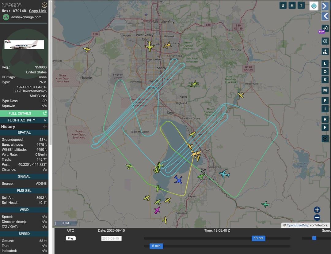
Why was an apparent survey/surveillance aircraft flying over Utah Valley University just prior to the Charlie Kirk shooting?
Immediately prior to the overflights of the campus, the aircraft was flying a similar pattern over Camp Williams, a National Guard training site operated by the Utah National Guard.
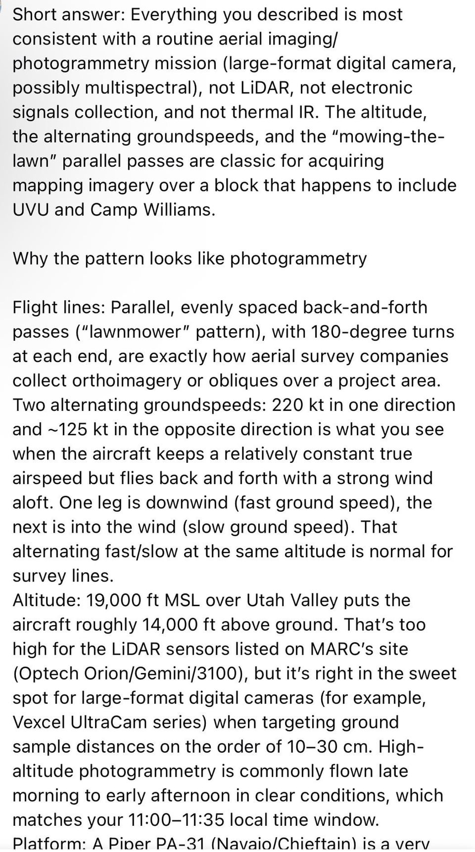
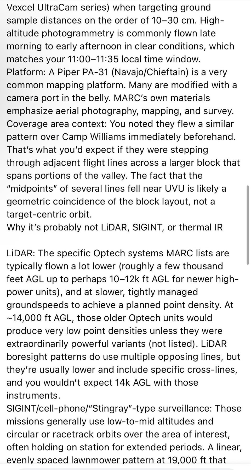
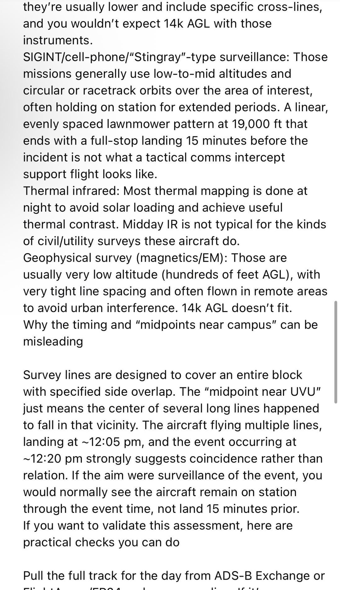
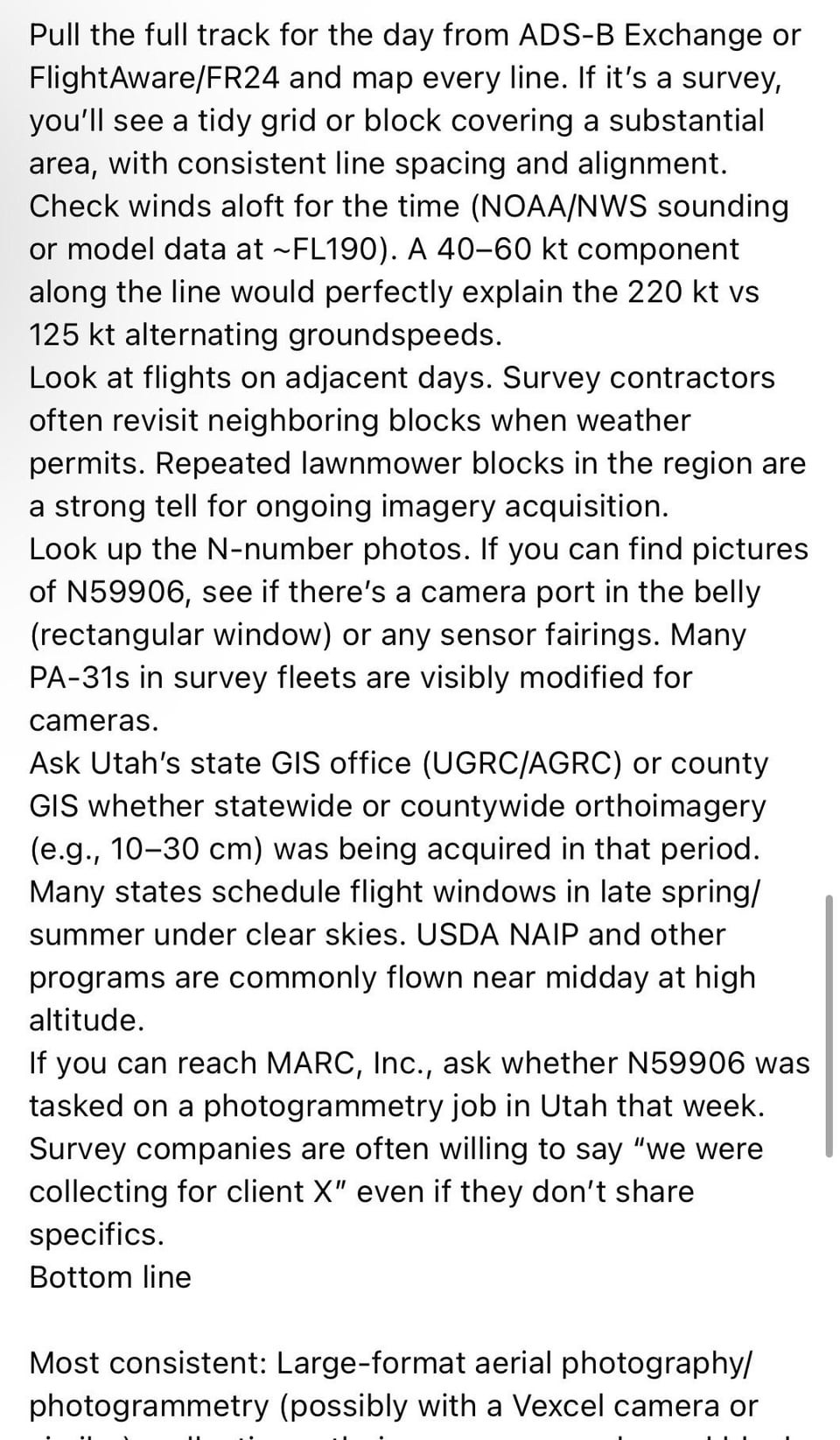
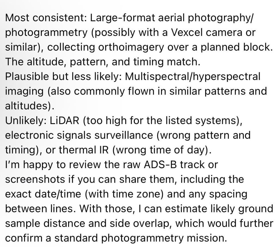
I included screenshots from a GPT analysis of the report. It says that the flight profile is consistent with a photogrammetry run.
If the aircraft was filming the site less than an hour before the shooting, who ordered it, and why? Who has custody of the photogrammetric analysis?
All midpoints were near the campus:
-1st pass: 11:01am / speed ~219kt
-2nd pass: 11:09am / speed ~126kt
-3rd pass: 11:18am / speed ~219kt
-4th pass: 11:26am / speed ~125kt
-5th pass: 11:35am / speed ~211kt
-Landed at approximately 12:05pm
-Charlie Kirk was shot at 12:23pm
-took off/landed at Provo Airport, 4 miles south of campus
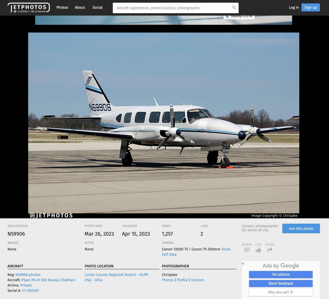
-Registered to MARC, INC
N59906
1974 PIPER PA-31
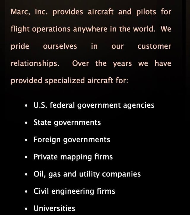
The company’s website lists the following clients, among others:
-U.S. federal government agencies
-State governments
-Foreign governments
“Marc, Inc. is North America's largest provider of specialized contract aircraft and flight crews for airborne GIS, survey and surveillence projects.”
“The mission for our Navajo Chieftains routinely includes aerial photography, geophysical survey, aerial mapping, surveillance, power line and pipeline engineering survey/surveillance.”
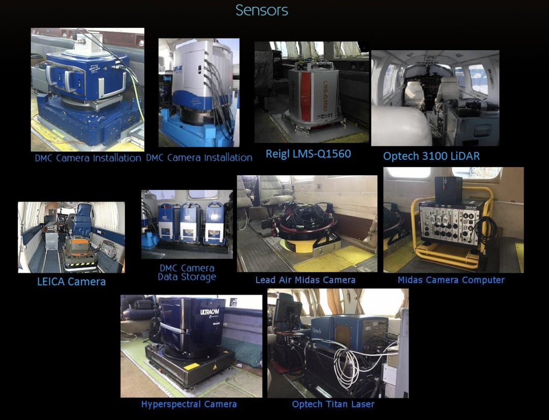
“We have experience installing and operating the following sensors:
Optech Orion LiDAR
Optech Gemini LiDAR
Optech 3100 LiDAR
Vexell Large Format Digital Camera
InfraRed Scanners”
Posted by ERosenwald
3 Comments
have you tried asking them? not likely to get any answer but always worth a shot to see if they are either just transparent about it, or someone slips up and releases information that maybe they shouldn’t.
what value do you think this flight or imagery like this taken before the attack would provide to a wider plot that included this attack?
my first guess would just be that its just a standard survey. have you by chance looked at other flights earlier in the day(although i assume for certain types of surveys they try to make their flights at similar times of day with similar weather patterns so that the final product when stitched together doesnt have varying sun angles and cloud conditions etc) or in the days preceding this one? perhaps it would show that they are working part of a larger grid, or it could show that this was a one-off in the area and looks a bit more conspicuous
Apparently Camp Williams is working on building some nuclear facility so that could explain that part.
https://www.sltrib.com/news/2025/08/24/mida-seeks-5-million-loan-camp/
Covey Riders?